


We use cookies on this site to enhance your experience.
By selecting “Accept” and continuing to use this website, you consent to the use of cookies.

March 18, 2021
Print | PDFBeginning in fall 2021, the Department of Geography and Environmental Studies is launching a new field of study for master’s students interested in becoming environmental data analysts.
Available to students pursuing their Master of Arts in Geography or their Master of Environmental Studies, the Environmental Data Analytics program combines training in data science, geospatial computing, and environmental data with a hands-on local government, non-profit, industry or research-based placement. The course-based program can be completed in as little as a year but is also available part-time.
The program will prepare students for a wide range of data-intensive careers in fields such as urban and regional planning, environmental consulting and resource management, and environmental organizations in the private, public and non-profit sectors.
Students will develop expertise in the latest data processing and analysis tools and frameworks used by data and geographic information system analysts today, such as Python and R. Skills in data acquisition, processing, representation, modelling and visualization will be taught with a particular focus on environmental and geospatial problems.
Students may have the opportunity to complete their three-month field placements as research assistants working with Laurier professors studying topics including climate change and human migration, or at government agencies, private businesses or organizations.
Find out more about the MA or MES in Environmental Data Analytics.
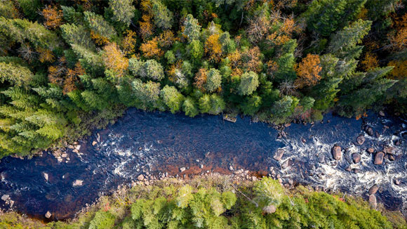
Image courtesy of "Landscape Similarity Analysis Using Texture Encoded Deep-Learning Features on Unclassified Remote Sensing Imagery" in Remote Sensing journal